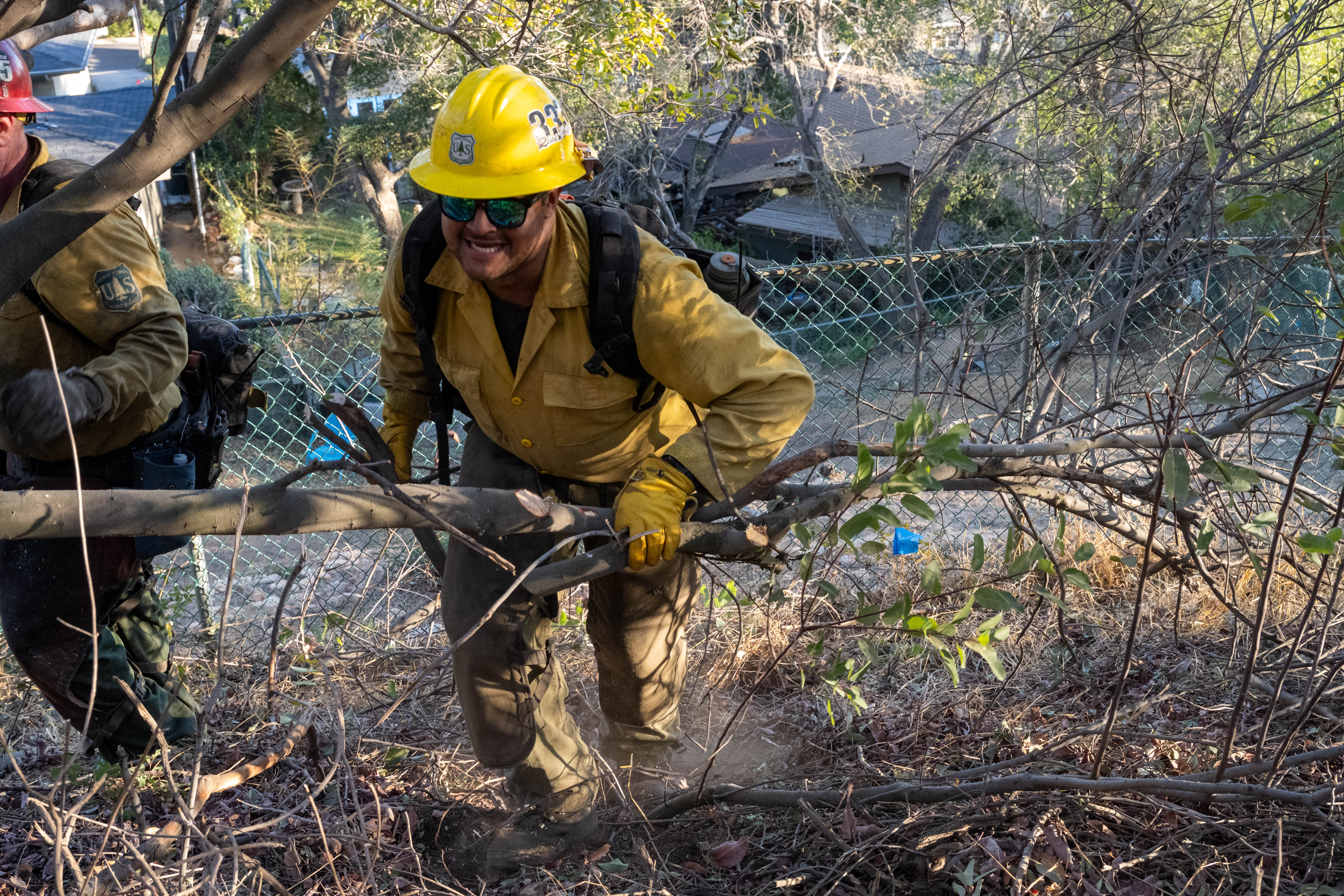
A 51-acre wildfire that broke out near Clayton on Friday, July 17, reached 90% containment by Sunday, July 19, after prompting evacuation warnings for hundreds of residents east of Mount Diablo State Park, according to Cal Fire's Santa Clara Unit.
The Morgan Fire ignited around 3 p.m. Friday near the intersection of Morgan Territory and Marsh Creek roads in unincorporated Contra Costa County. It spread uphill through brush and timber on steep slopes, growing from two acres to roughly 50 within three hours, according to the Contra Costa County Fire Protection District.
One firefighter was injured. Cal Fire did not disclose the nature or severity of the injury. No structures were damaged.
Evacuation warning lifted Saturday
By 4:40 p.m. Friday, the fire district issued an evacuation warning for zones CCC-249 and CCC-250, covering residents between Morgan Territory Regional Preserve and Mount Diablo State Park. The Contra Costa County Warning System advised those residents to gather medications, important papers, and pets and be ready to leave.
Cal Fire classified the blaze as a three-alarm incident and deployed eight Type 1 air tankers and four helicopters. By 5:15 p.m. Friday, a retardant line surrounded roughly 75% of the fire's perimeter, according to Cal Fire SCU.
Forward progress was stopped late Friday night. By Saturday morning, July 18, containment stood at 30% and the evacuation warning was lifted, authorities said. Cal Fire SCU reported 55% containment by Saturday afternoon, with crews from neighboring Cal Fire units and Contra Costa and Sonoma counties assisting.
By Sunday, July 19, containment reached 90%, with mop-up operations continuing through Monday, July 20, Cal Fire SCU said on X.
The cause remains under investigation, according to Cal Fire.
Fire season context
The blaze ignited during elevated fire weather conditions across the region. The National Interagency Fire Center raised its national preparedness level to 4 out of 5 by late June, citing above-normal wildfire activity nationwide.
Lamorinda residents can check their evacuation zones at protect.genasys.com and sign up for emergency alerts at CWSAlerts.com. The City of Orinda's OrindaReady.com site includes the Ladris evacuation modeling tool and live fire cameras.